The first impression of Japan is usually one of efficiency — and this is especially true when it comes to getting oriented. Maps, stations, and signs follow clear standards, designed for those who don’t speak Japanese.
This 3-day itinerary focuses less on attractions and more on learning the “how to get there,” the “which way out,” and the “where am I” — skills that ease the rest of the trip.
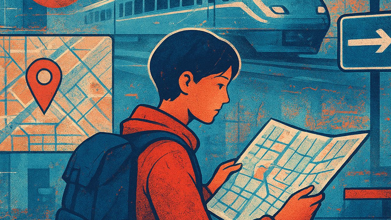
Day 1: reading urban maps without mystery
Start with the basics: neighborhood maps. In central areas of Tokyo, Kyoto, or Osaka, there are large maps on the street and inside stations, always with a clear “you are here” point. They show blocks, numbered exits, and visual landmarks.
Practical tips for the first contact: - Look for the map before leaving the station; it usually indicates the exit closest to your destination. - Notice universal icons (restroom, elevator, stairs, police, post office). - Pay attention to the map’s orientation: many follow the actual direction of the street, not traditional north.
Walk a few blocks, return to the map, confirm. This repetition helps build confidence quickly.
Day 2: train and subway stations, step by step
Japanese stations are large, but predictable. Each line has a color, a letter, and a number. Platforms and corridors follow this logic, reducing the chance of mistakes.
How to decode platforms and lines
When entering the station: - Identify the line by color and code (e.g., M, G, JY). - Check the train’s final direction (the name of the last station is the reference). - Note the platform number before passing the ticket gates.
On platforms, floor markings indicate where to wait and where doors open. Even in busy stations, the flow is usually intuitive.
Numbered exits: the detail that saves time
Many stations have dozens of exits. The internal map shows which exit leads to each street or important point. Choosing the right exit avoids long walks on the surface.
Day 3: signage in everyday life (and when something goes off plan)
Signs in Japan are consistent: large Japanese text, English right below, clear arrows. In tourist areas, there are also colors and pictograms.
For common situations: - **Transfers:** follow the color and code of the next line, not just the name. - **Wrong station:** get off, look for the map on the opposite platform, and return without rushing. - **Missed the exit:** go back inside the station; there is almost always access between exits.
Digital maps: use them without relying entirely on them
Map apps work very well, but the key is to combine them with what’s around you. Use your phone to trace the general route and physical maps for the final details.
Best practices: - Confirm the station name in Roman letters (romaji). - Compare the street layout in the app with the street map. - Save important places for quick access.
Small habits that make a difference
Some simple attitudes make orientation smoother: - Stop to look at the map outside the flow, not in the middle of the corridor. - Observe how locals position themselves before moving on. - Take a photo of the station map to check later.
With three days focused on maps, stations, and signage, getting around stops being a challenge and becomes a calm part of the experience. From there on, Japan opens up naturally.
Comments
Comments are public and the sole responsibility of the author. Don’t share personal data. We may store technical signals (e.g. IP hash) to reduce spam and remove abusive, illegal, or off-topic content.